Description
To understand how the atmosphere works requires a global view of of the Earth Atmosphere System. Information is required at different spatial and temporal scales on as many variables as possible.
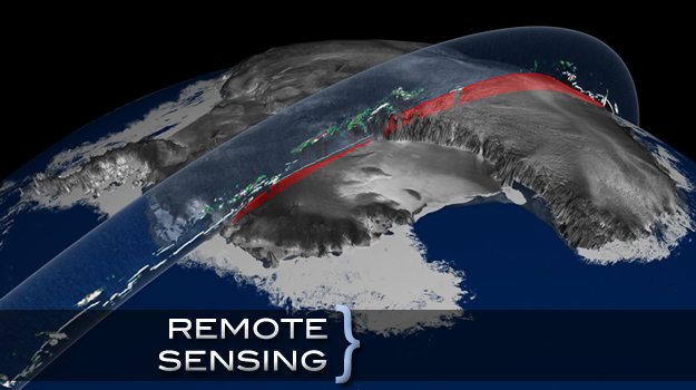
Remote sensing methods, and satellites in particular, provide an opportunity to observe our environment in a systematic way. Technological advances led to the development of numerous global observing systems that can probe the atmosphere and the earth surface and provide needed information at an unprecedented detail and frequency. Information that is currently derived from satellites is widely used as input for improving weather forecasts, for the evaluation of numerical weather and climate models, as well as for improving our understanding of climate and climate change.
Members of the Department of Atmospheric and Oceanic Science and faculty affiliates from local government agencies (like NASA and NOAA) are involved in various aspects of Remote Sensing Research. Activities include development of inference techniques of numerous geophysical parameters, algorithm implementation and evaluation, and use of remotely sensed information in climate modeling and research.
Topics span terrestrial, oceanic, and atmospheric disciplines, and include research on retrieval of trace gases (ozone), greenhouse gases (water vapor), aerosols, modeling of surface processes, as well as inference of surface fluxes and properties, such as radiation, salinity, rainfall, net primary productivity, and sea level. Members of the department are active in the use of remotely sensed observations and definition of future sensors for the World Climate Research Programme projects CLIVAR and GEWEX.
