|
Downwelling surface shortwave and photosynthetically active radiation, top of atmosphere downward
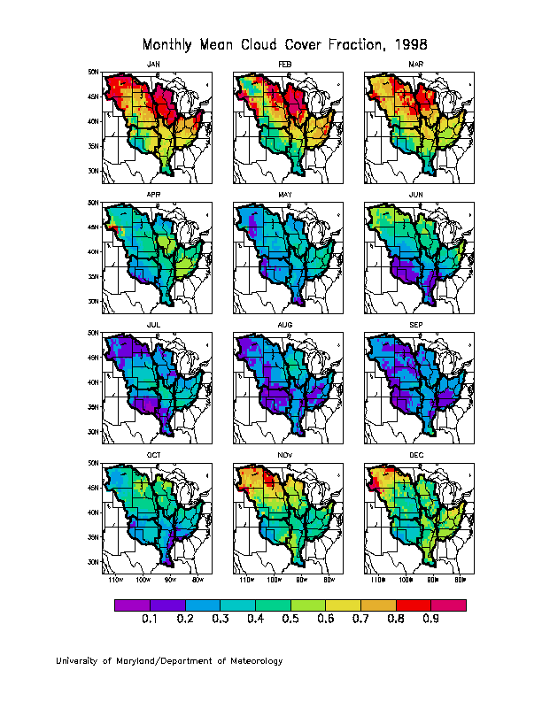
shortwave radiation and top atmosphere upward shortwave radiation, cloud
amount and surface skin temperature are provided in the "historic" data archive for the entire GCIP area.
In order to save space, data are not duplicated for the Mississippi River Basin and the sub-basins alone. Instead, "mask files" are supplied that can be used to extract the basin-scale data from the full-scale data.
The mask files have the same format and grid structure as those of the GCIP/SRB data files. In these files, each cell has one of two possible values: +1 or -1. A value of +1 means the cell is inside the boundaries of the basin, while -1 means the cell is outside the basin.
To extract data for a particular basin three steps should be taken:
|
|
Download the
GCIP/SRB data file for the entire GCIP area from the archive of "historic data".
|
|
|
Download the mask file for the basin. The available masks are:
(you may need to shift-click on the links below or do a "save link as")
|
|
|
Apply the mask
on the GCIP/SRB data to filter out data outside the basin. The Fortran program "masking.f" can
be used as an example to create your own program to accomplish this. The program reads
both the GCIP/SRB data file and the mask file, and replaces the value in the
GCIP/SRB data
with the missing value when a cell is outside the basin. |
|

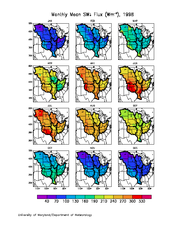
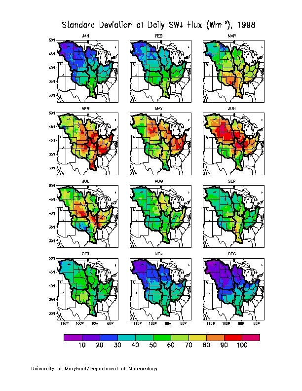
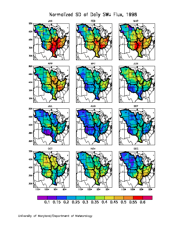
 Seasonal average
of shortwave downward flux for 1996-1999
Seasonal average
of shortwave downward flux for 1996-1999 