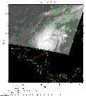
 2011 October 25 10:36 UT
NOAA-15 satellite AVHRR channel 4 nighttime image.
A closer view (165 Kb) is seen by clicking on this small image.
The maximum sustained winds are 100 mph.
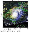 2011 October 25 19:34 UT
NOAA-18 satellite AVHRR 3 channel color composite daytime image.
A closer view (307 Kb) is seen by clicking on this small image.
The maximum sustained winds have increased to 105 mph.
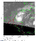 2011 October 26 10:11 UT
NOAA-15 satellite AVHRR channel 4 nighttime image.
A closer view (199 Kb) is seen by clicking on this small image.
The maximum sustained winds have increased to 110 mph.
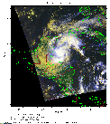 2011 October 26 19:23 UT
NOAA-18 satellite AVHRR 3 channel color composite daytime image.
A closer view (283 Kb) is seen by clicking on this small image.
The maximum sustained winds have decreased to 85 mph.
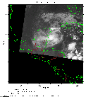 2011 October 27 07:46 UT
NOAA-18 satellite AVHRR channel 4 nighttime image.
A closer view (172 Kb) is seen by clicking on this small image.
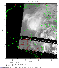 2011 October 28 07:35 UT
NOAA-18 satellite AVHRR channel 4 nighttime image.
A closer view (185 Kb) is seen by clicking on this small image.
Rina made landfall at about 0300 UT west of Cozumel on the northeast coast of Mexico's Yucatan Peninsula.