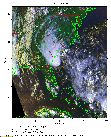
 2016 May 28 22:28 UT
NOAA-18 satellite AVHRR 3 channel color composite daytime image.
A closer view (372 Kb) is seen by clicking on this small image.
The maximum sustained winds are 40 mph.
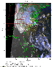 2016 May 29 10:51 UT
NOAA-18 satellite AVHRR 3 channel color composite daytime image.
A closer view (282 Kb) is seen by clicking on this small image.
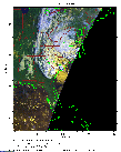 2016 May 29 12:32 UT
NOAA-18 satellite AVHRR 3 channel color composite daytime image.
A closer view (211 Kb) is seen by clicking on this small image.
Bonnie has just made landfall on the coast of South Carolina and the maximum sustained winds are 35 mph.
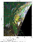 2016 May 30 12:20 UT
NOAA-18 satellite AVHRR 3 channel color composite daytime image.
A closer view (264 Kb) is seen by clicking on this small image.
The maximum sustained winds are 30 mph.
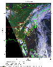 2016 May 30 22:05 UT
NOAA-18 satellite AVHRR 3 channel color composite daytime image.
A closer view (321 Kb) is seen by clicking on this small image.
The maximum sustained winds are 15 mph.
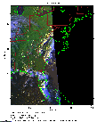 2016 May 30 23:47 UT
NOAA-18 satellite AVHRR 3 channel color composite daytime image.
A closer view (189 Kb) is seen by clicking on this small image.
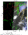 2016 May 31 10:28 UT
NOAA-18 satellite AVHRR 3 channel color composite daytime image.
A closer view (207 Kb) is seen by clicking on this small image.
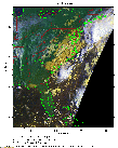 2016 May 31 12:09 UT
NOAA-18 satellite AVHRR 3 channel color composite daytime image.
A closer view (290 Kb) is seen by clicking on this small image.
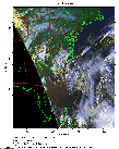 2016 May 31 21:54 UT
NOAA-18 satellite AVHRR 3 channel color composite daytime image.
A closer view (302 Kb) is seen by clicking on this small image.
The maximum sustained winds are 20 mph.
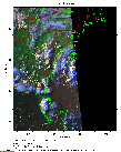 2016 May 31 23:35 UT
NOAA-18 satellite AVHRR 3 channel color composite daytime image.
A closer view (220 Kb) is seen by clicking on this small image.
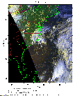 2016 Jun 01 21:42 UT
NOAA-18 satellite AVHRR 3 channel color composite daytime image.
A closer view (285 Kb) is seen by clicking on this small image.
The maximum sustained winds are 25 mph.
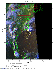 2016 Jun 01 23:23 UT
NOAA-18 satellite AVHRR 3 channel color composite daytime image.
A closer view (231 Kb) is seen by clicking on this small image.
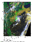 2016 Jun 02 11:45 UT
NOAA-18 satellite AVHRR 3 channel color composite daytime image.
A closer view (342 Kb) is seen by clicking on this small image.
The maximum sustained winds at 09:00 UT were 20 mph and will increase as Bonnie moves over the Gulf Stream.
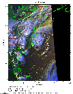 2016 Jun 02 23:12 UT
NOAA-18 satellite AVHRR 3 channel color composite daytime image.
A closer view (263 Kb) is seen by clicking on this small image.
The maximum sustained winds have increased to 35 mph.
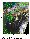 2016 Jun 03 11:34 UT
NOAA-18 satellite AVHRR 3 channel color composite daytime image.
A closer view (337 Kb) is seen by clicking on this small image.
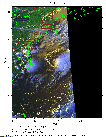 2016 Jun 03 22:59 UT
NOAA-18 satellite AVHRR 3 channel color composite daytime image.
A closer view (224 Kb) is seen by clicking on this small image.
The maximum sustained winds have increased to 40 mph.
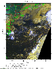 2016 Jun 04 11:22 UT
NOAA-18 satellite AVHRR 3 channel color composite daytime image.
A closer view (319 Kb) is seen by clicking on this small image.