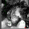
 1999 August 20 01:22 UT
NOAA-15
AVHRR
channel 4 early morning image. A closer view (572 Kb) is seen
by clicking on this small image. Bret is a tropical storm with 50 mph
winds at this time.
A very large image (797 Kb)
is also available.
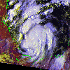 1999 August 20 13:37 UT
NOAA-15
AVHRR 3 channel color composite daytime image. A closer view (433 Kb) is seen
by clicking on this small image.
A very large image (908 Kb)
is also available.
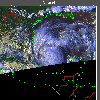 1999 August 20 23:44 UT
NOAA-12
AVHRR 3 channel color composite image. A closer view (312 Kb) is seen
by clicking on this small image. The winds have increased to 65 mph at
this time. A very large image (766 Kb)
is also available.
Notice the hint of an eye on this image.
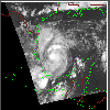 1999 August 21 00:59 UT
NOAA-15
AVHRR channel 4 nighttime image. A closer view (249 Kb) is seen
by clicking on this small image. Bret is becoming a hurricane.
A very large image (1069 Kb)
is also available.
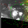 1999 August 21 11:59 UT
NOAA-12
AVHRR channel 4 nighttime image. A closer view (209 Kb) is seen
by clicking on this small image. Bret is now a hurricane with
maximum sustained winds of 90 mph. Outer rain bands are spreading
onto the coast. A very large image (1148 Kb)
is also available.
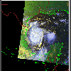 1999 August 21 13:15 UT
NOAA-15
AVHRR 3 channel color composite daytime image. A closer view (253 Kb) is seen
by clicking on this small image. The winds are still about 90 mph.
Notice the small eye in this image.
A very large image (687 Kb)
is also available.
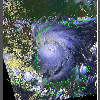 1999 August 21 23:20 UT
NOAA-12
AVHRR 3 channel color composite daytime image. A closer view (458 Kb) is seen
by clicking on this small image. Now the eye is large and well-formed.
Because Bret has moved over a warm eddy, it is strengthening and its winds
are increasing past 100 mph.
A very large image (870 Kb)
is also available.
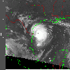 1999 August 22 10:02 UT
NOAA-14
AVHRR channel 4 nighttime image. A closer view (253 Kb) is seen
by clicking on this small image. Bret has rapidly intensified to a
dangerous Category 4 on the Saffir-Simpson scale, with maximum sustained
winds of about 140 mph. These hurricane-force winds extend outward up
to about 35 miles. The hurricane is moving toward the northwest.
Voluntary evacuations are taking place along the Texas coast in
anticipation of landfall.
A very large image (1036 Kb)
is also available.
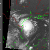 1999 August 22 11:36 UT
NOAA-12
AVHRR channel 4 nighttime image. A closer view (245 Kb) is seen
by clicking on this small image.
The maximum sustained winds are
140 mph as the hurricane moves toward the northwest at 10 mph.
A very large image (1060 Kb)
is also available.
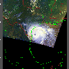 1999 August 22 14:33 UT
NOAA-15
AVHRR 3 channel color composite daytime image. A closer view (228 Kb) is
seen by clicking on this small image.
The eye is clearly seen. Using coastal radar, the eye measures about
15 miles in diameter. Tornado watches are being posted along the coast.
A very large image (570 Kb)
is also available.
 1999 August 22 22:58 UT
NOAA-12
AVHRR 3 channel color composite daytime image. A closer view (322 Kb) is seen
by clicking on this small image. The maximum sustained winds have
dropped from 140 mph to 125 mph as the eye crosses the coast. Bret is
moving slowly inland at about 8 mph and releasing 10 to 15 inches of
rainfall on the Texas coast.
A very large image (797 Kb)
is also available.
 1999 August 23 01:57 UT
NOAA-15
AVHRR channel 4 nighttime image. Because of the slow forward motion of
Bret, the eye appears to be lingering on the coast.
A closer view (241 Kb) is seen by clicking on this small image.
A very large image (1042 Kb)
is also available.
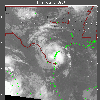 1999 August 23 09:51 UT
NOAA-14
AVHRR channel 4 nighttime image.
The maximum sustained winds have now dropped to about 85 mph. Bret is
moving slowly forward and dumping large amounts of rain. As much as 28
inches of rain have already fallen in some areas of Texas.
A closer view (263 Kb) is seen by clicking on this small image.
A very large image (1035 Kb)
is also available.